

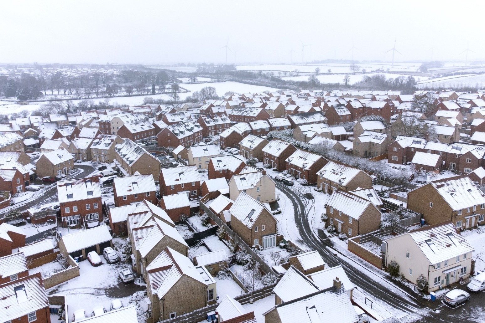
Snowstorms are due to affect large parts of England after the coldest March temperature in more than a decade was recorded overnight.
The Met Office has issued an amber warning for “strong winds bringing blizzard conditions” and up to 16in (40cm) of snow for an area stretching from Stoke-on-Trent to Durham.
The alert, which warns of likely “significant disruption” to transport, power lines and phone network coverage, lasts for 21 hours from 3pm on Thursday and covers major cities including Liverpool, Sheffield, Bradford and Leeds.
This comes after the coldest temperature of 2023 – minus 16C – was recorded at Altnaharra in the Scottish Highlands on Wednesday night.
Met Office forecasters said this was also the lowest March temperature seen in the UK since 2010, when minus 18.6C was recorded at Braemar in Aberdeenshire.
For Thursday, forecasters have predicted daytime temperatures in the low single figures and sub-zero temperatures overnight for much of the UK, with slightly warmer conditions in the south.
A yellow warning for “heavy snow” also covers a large area between Glasgow and Birmingham until 2pm on Friday, while a second yellow warning for snow and ice is in place over the Scottish Isles until 10am on Thursday.
The Environment Agency has issued five alerts for locations on the south coast of England, and for residents between Putney Bridge and Teddington Weir along the River Thames in London, where flooding is “possible”.
Natural Resources Wales has given two similar warnings for the North Wales coast, along with the Lleyn Peninsula and Cardigan Bay coastline.
The Met Office has said an Arctic air mass from the north meeting mild air from the south is causing the turbulent weather over central areas.
Published: by Radio NewsHub
